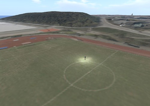
I do a fair amount of work with people in urban planning. Realism in those virtual environments is the starting point for the imagined plans they have in mind. The very first thing they want is the realistic terrain of the area. It has proven difficult to get the elevation data of specific areas, but we always end up finding it in some obscure place or other. Unfortunately, the terrain by itself doesn’t quite give the feel of the area as it exists today. Instead, it gives the feel of the area as it might have existed 10,000 years ago! — no signs of human civilization. Which, as nice as that may be, doesn’t quite do the job for urban planning. This weekend I was finally able to generate realistic terrains in OpenSim overlayed with a realistic image. Here is the story.